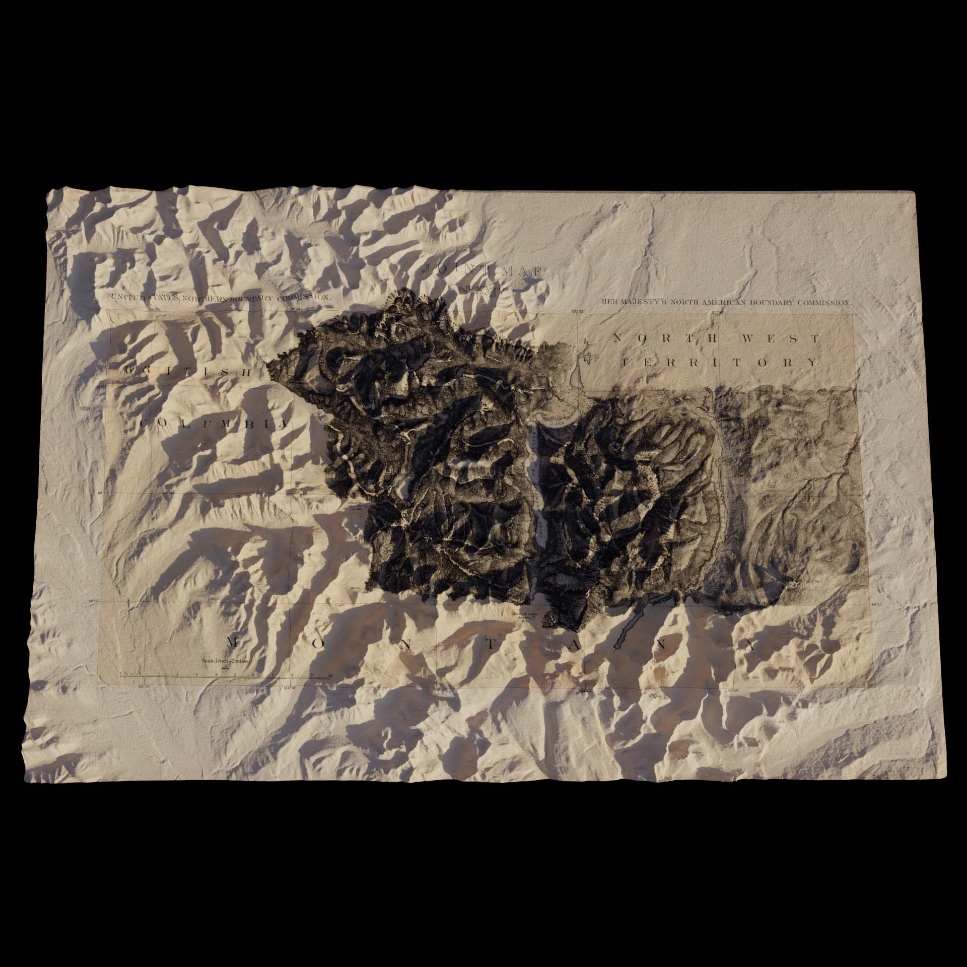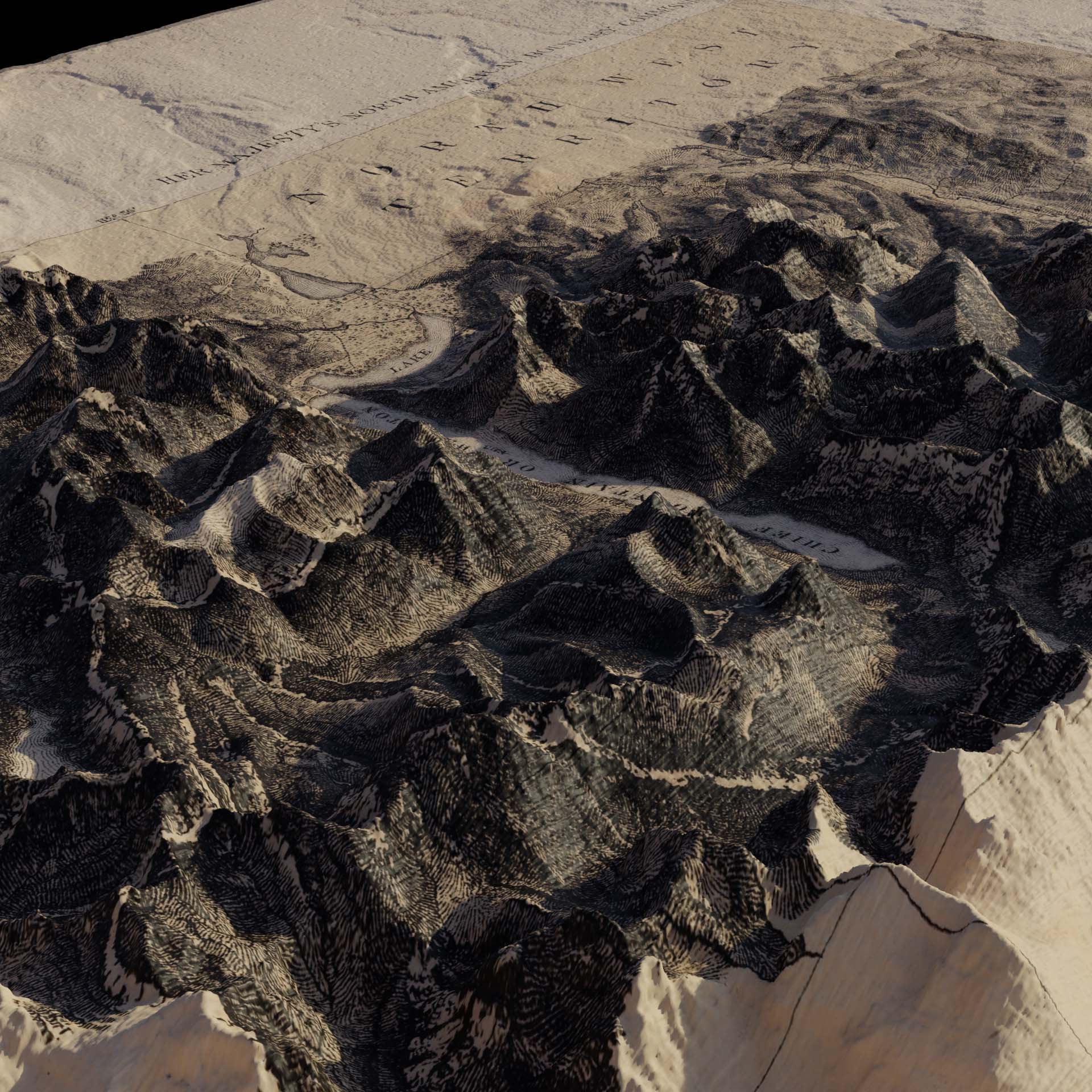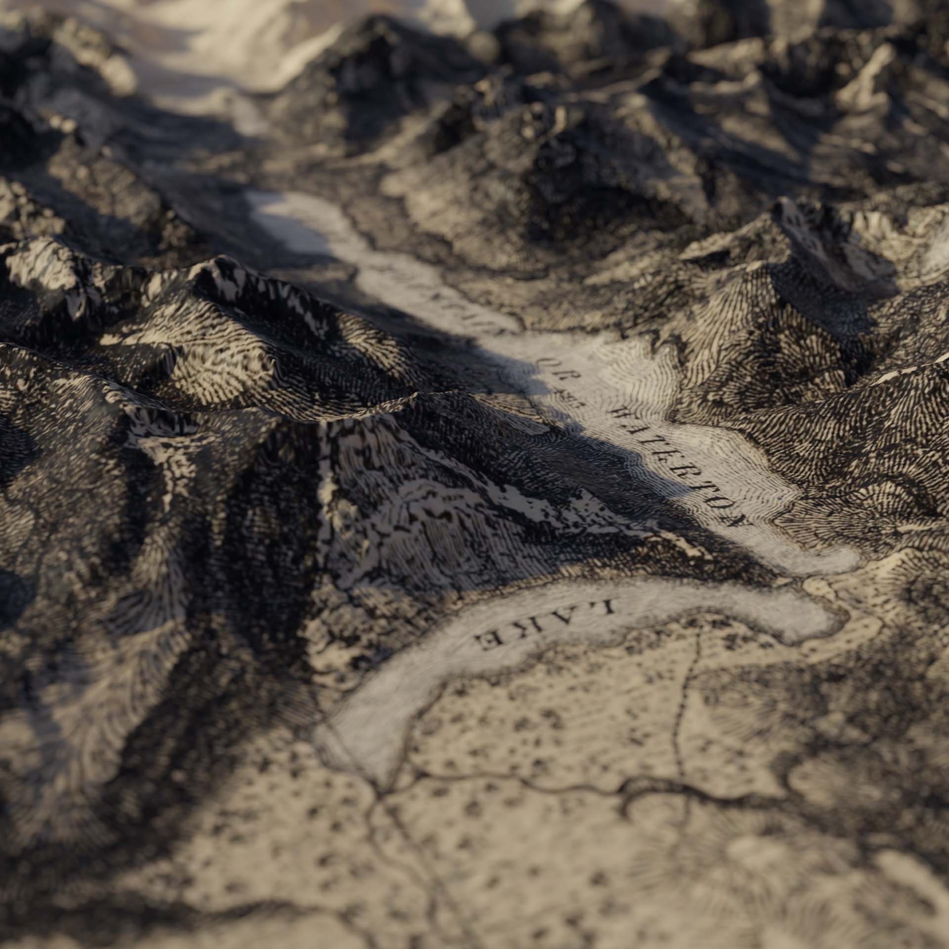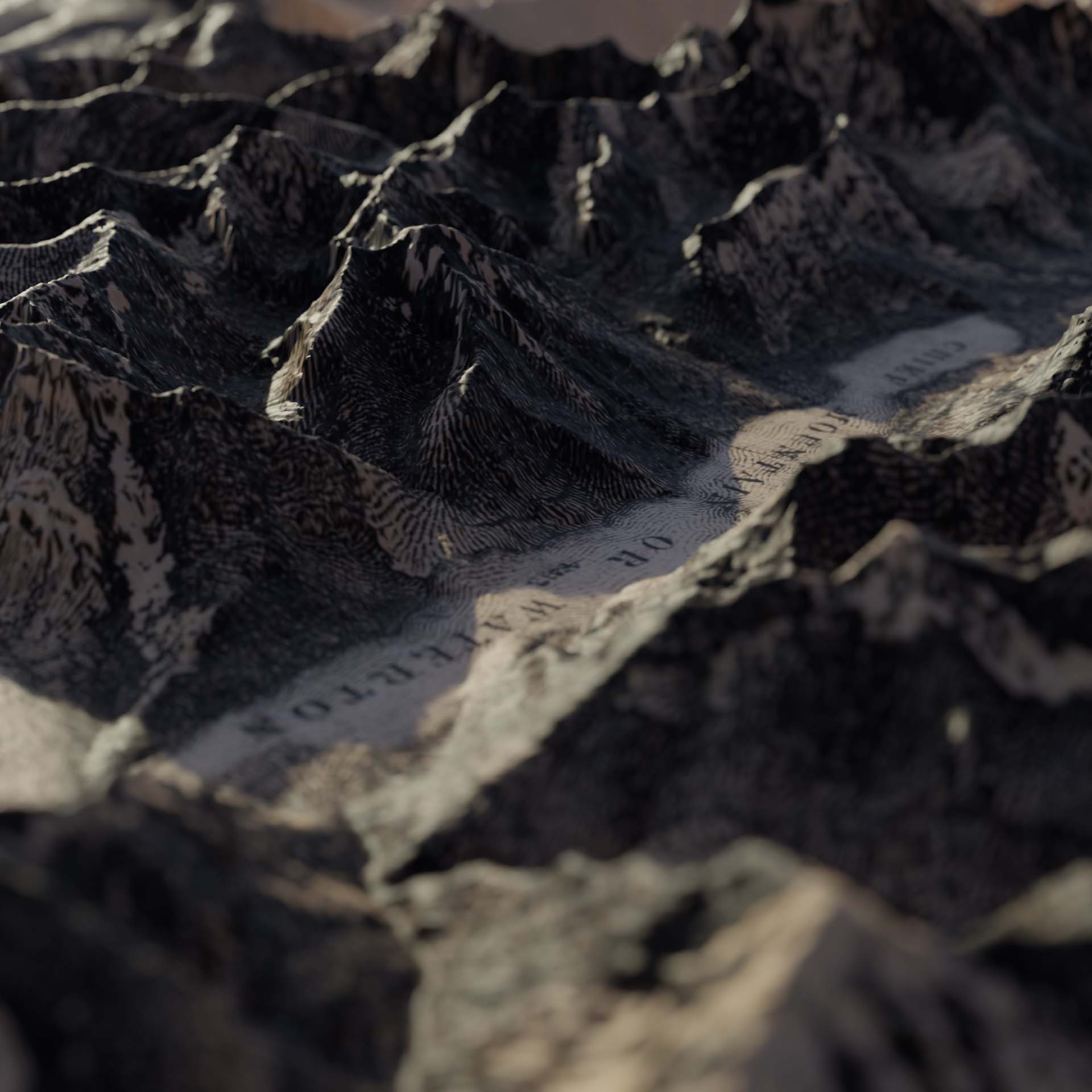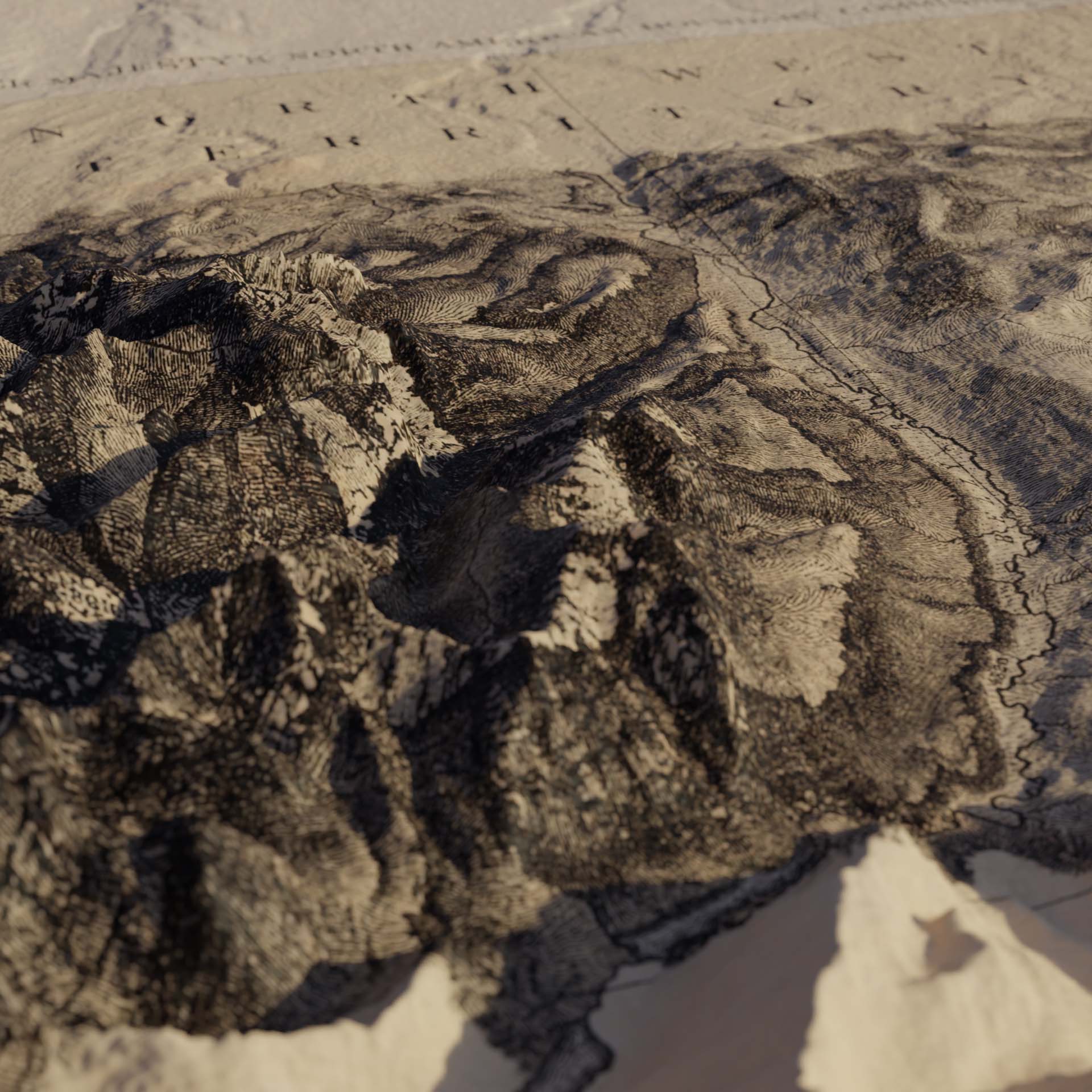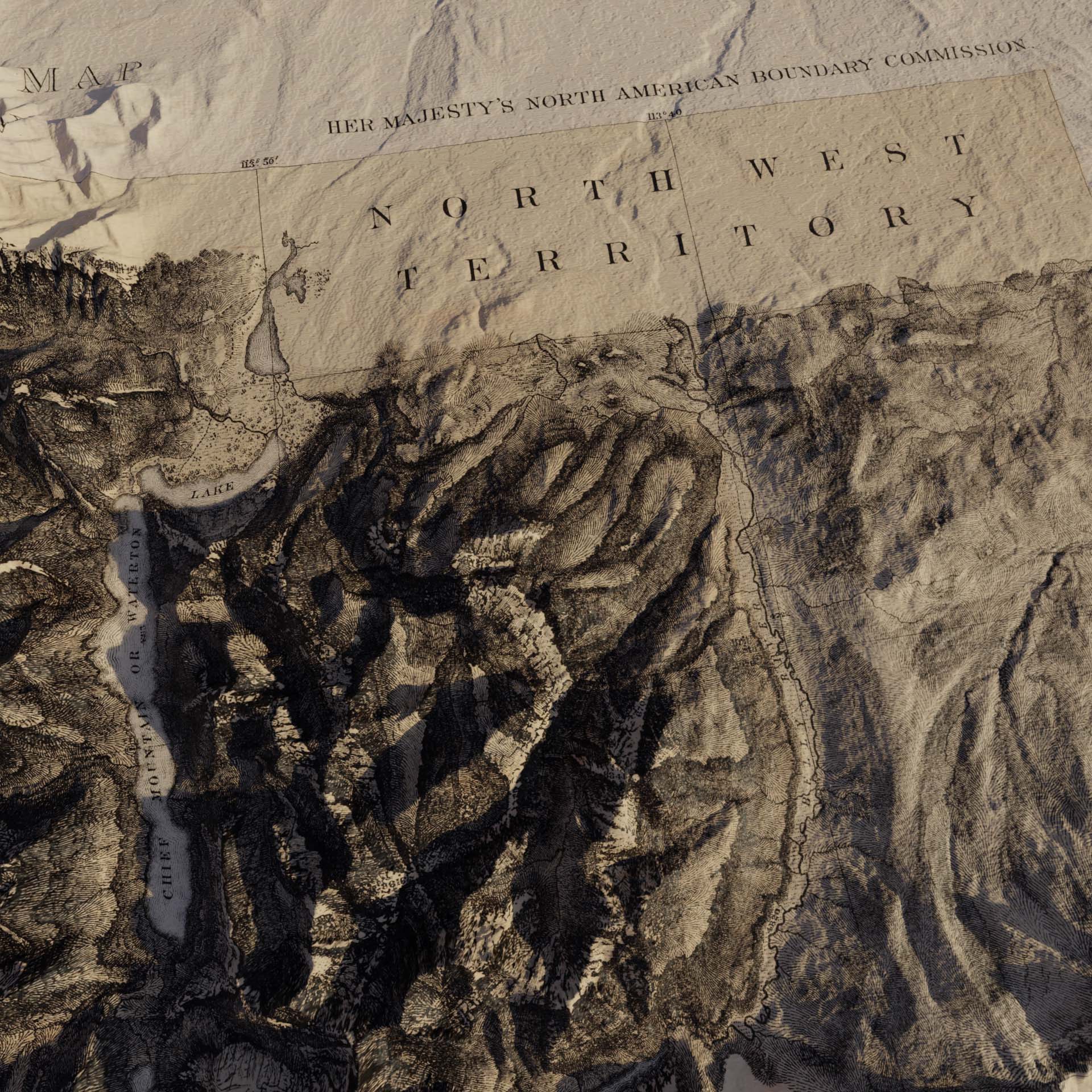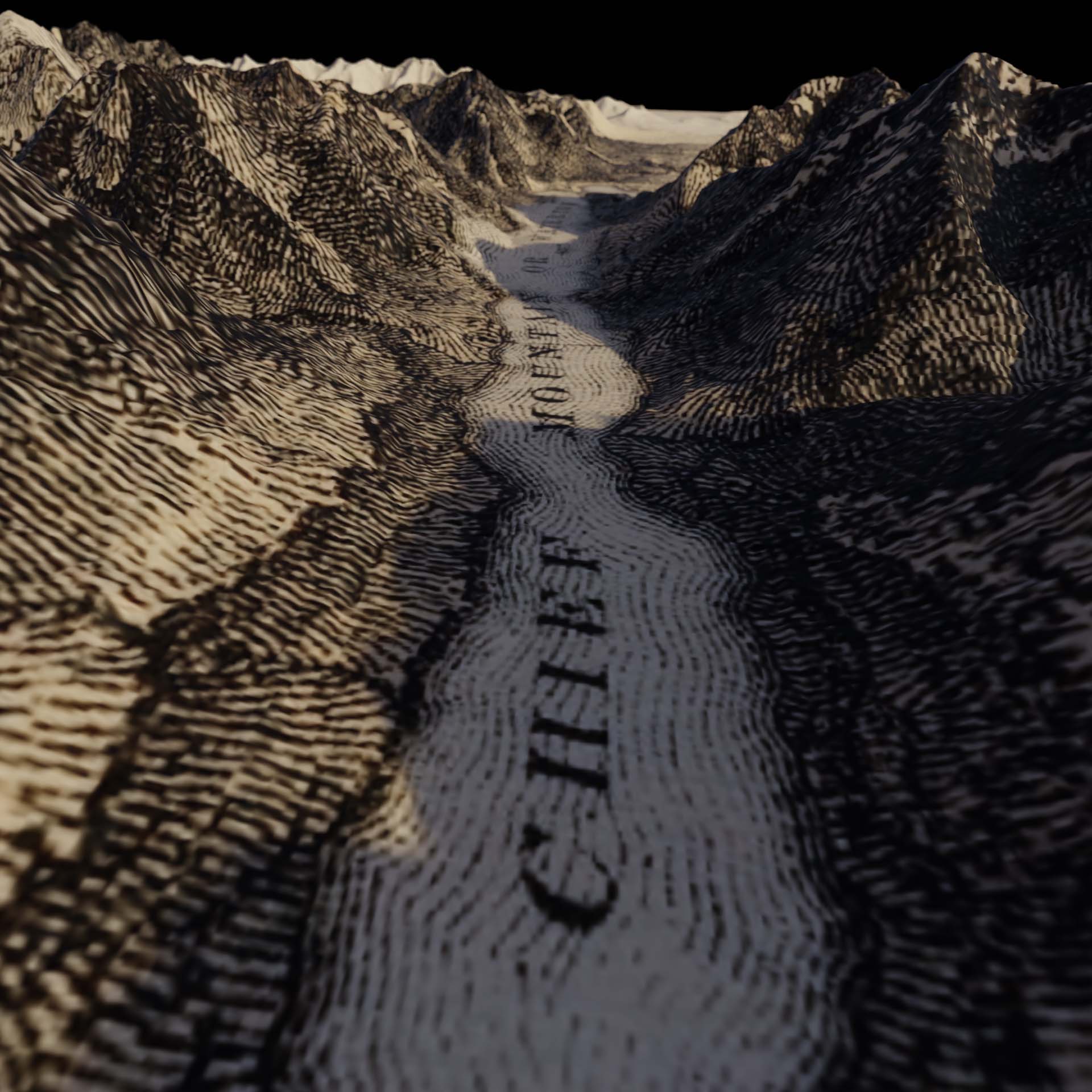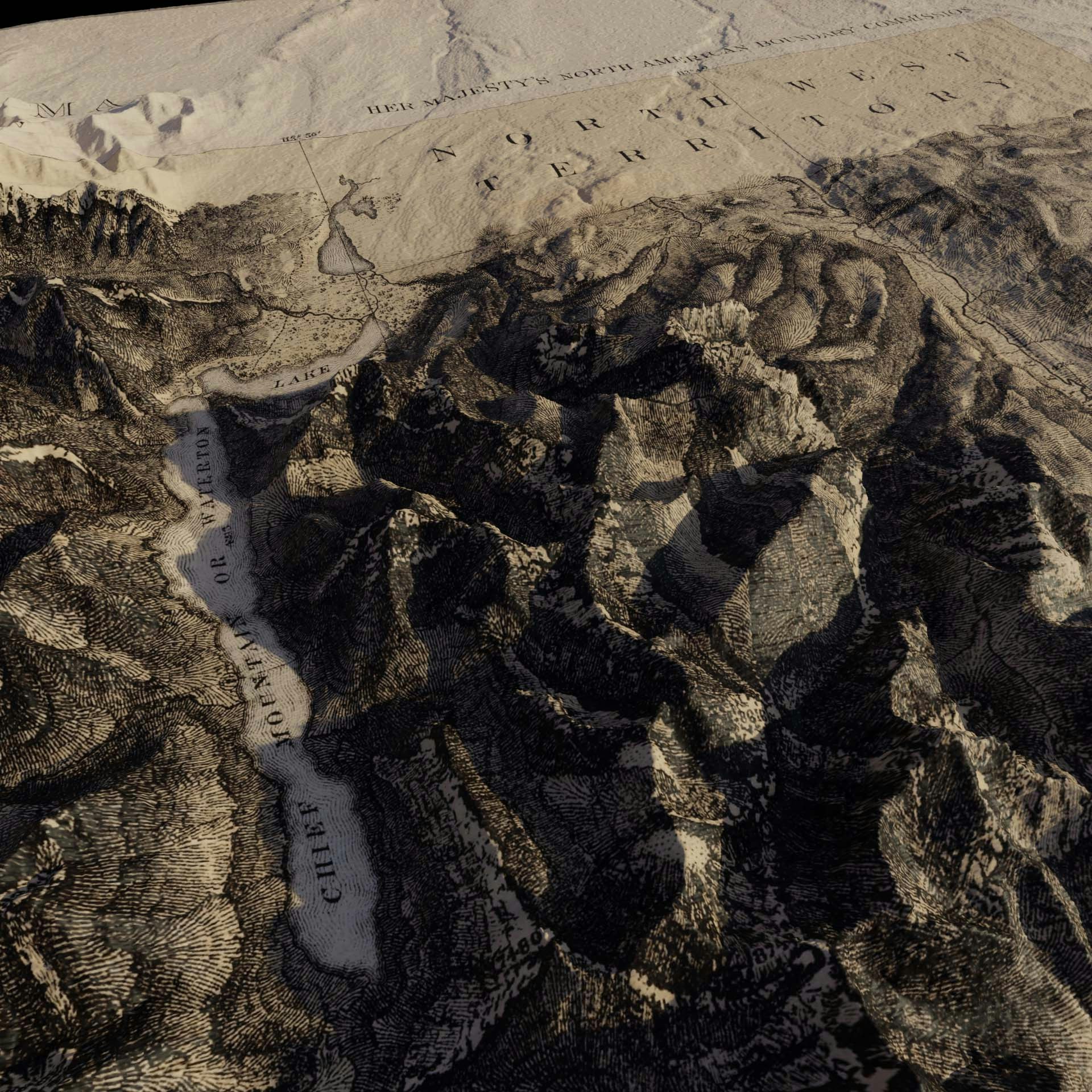
NW Territories Survey Map
The Canadian/US border was set by the Oregon Treaty of 1846 but surveying it was interrupted by the Civil War and not completed until 1875. This is one of the lithographs from the Montana/British Columbia border. A 3D experiment, merging old maps with modern data.